Reserve from the case
Shipping Estimate
USA
- USA
- CAN
- USA
- CAN
Ships within 48 hours · Estimated delivery Aug 23 - Aug 28
Reserve from the case
Ships within 48 hours · Estimated delivery Aug 23 - Aug 28
The NOAA Nautical Chart 16322: Bristol Bay-Nushagak B and approaches is printed on heavy weight acid free paper with the latest Notice to Mariners applied
The NOAA Nautical Chart 14913: Grand Traverse Bay to Little Traverse Bay
Railed: Black plastic framing rails are added on the top and bottom of your Laminated map for easy wall mounting
insets for this map include: State Map and Downtown Wilmington
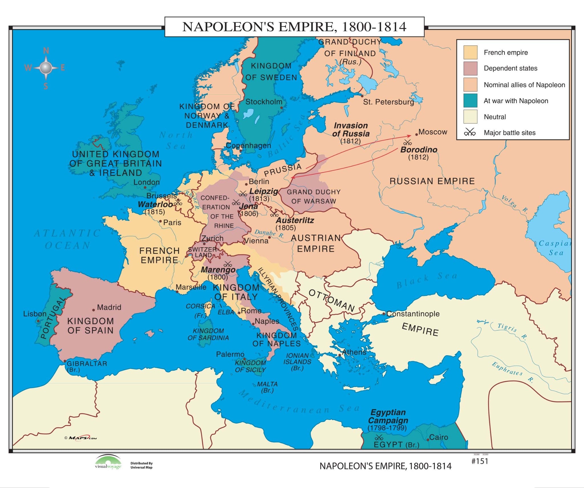
#151 Napoleon's Empire, 1800-1814 14863 The NOAA Nautical Chart 16322:Napoleon's Empire, 1800 1814 identifies the French Empire, dependent states, nominal allies of Napoleon, areas at war with Napoleon, neutral areas, and major battle sites.


US$ 108.00

US$ 74.00

US$ 74.00

US$ 77.00

US$ 144.00

US$ 82.00

US$ 182.40


US$ 54.99


US$ 39.99


Pay in 4 interest-free payments of $20.00 Learn more